© HeiGIT · MapTiler · © OpenStreetMapRoutes © openrouteservice.org by HeiGIT · Map © MapTiler · © OpenStreetMap contributors
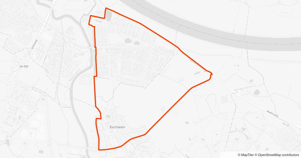
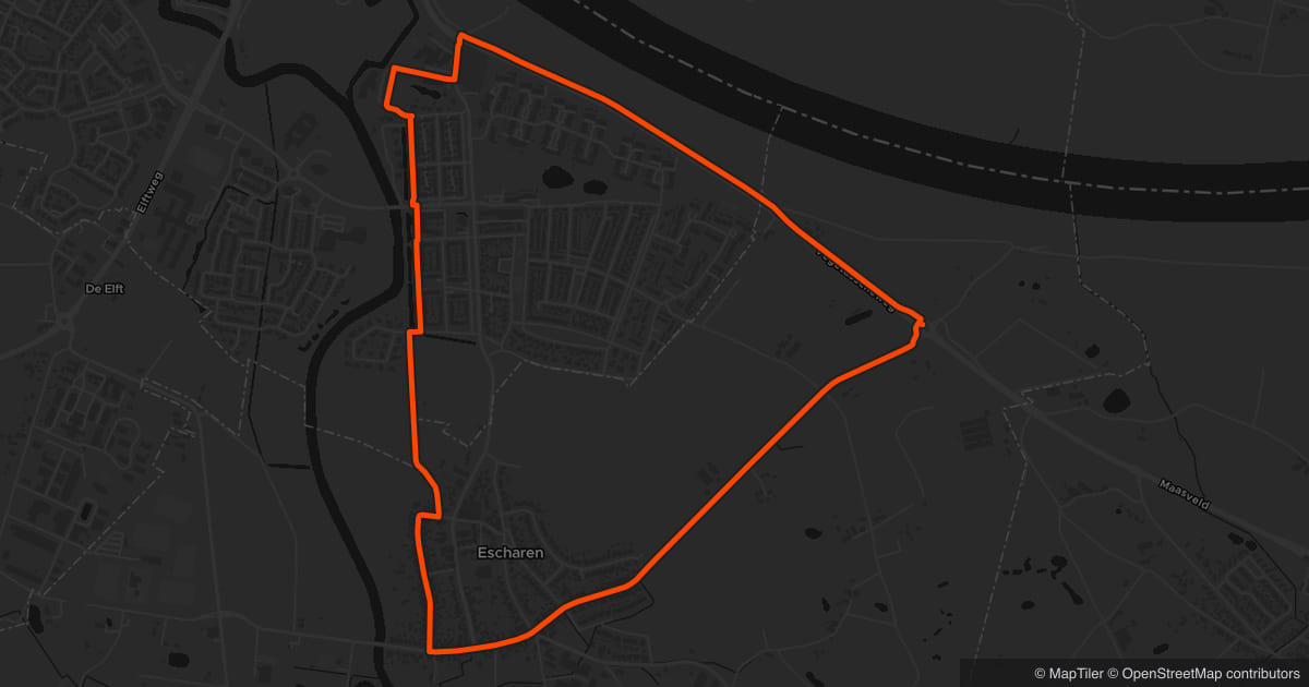
Rondje van 5,2 km
Grave & Escharen, 3.2 mi
This 3.2 mi route runs through Grave and Escharen. About 78% of the route is green, 10% is unpaved and 11% runs along water. Part of the route follows the Land van Cuijkpad. The terrain is mostly flat, with about 20 meters of climbing.
This route scores 70% runner happiness.
This route was shared without its real start location: the start point shown was placed randomly on the route.
Frequently asked questions
Yes — edit the route and use it as a starting point for your own version: move points, shorten or extend it, and save the result to your own routes.Open this route in the route planner
The path percentage is the share of the route on foot and walking paths: park trails, shell paths, and dedicated walking routes. Usually car-free, though you may share them with walkers or cyclists.
Unpaved is the share of the route on gravel, forest trails, grass, or sand. Softer on your joints, but it can get muddy or slippery after rain — trail shoes are a good idea on wet days.
The share of the route that runs through or directly along greenery — parks, forest, and nature areas. Treat it as an indication: small patches of green or recently changed areas may be missing.
The share of the route that runs along water: canals, rivers, lakes, or the coast. Mainly an indication of the scenery along the way.
The elevation gain and profile give a good picture of climbs and descents, but can deviate slightly over short distances or near bridges and viaducts.
The map, surroundings, and elevation information comes from open map data that is continuously maintained by a worldwide community, complemented with satellite elevation models. That makes it rich and up to date, but not flawless — treat it as a good indication, not a guarantee.